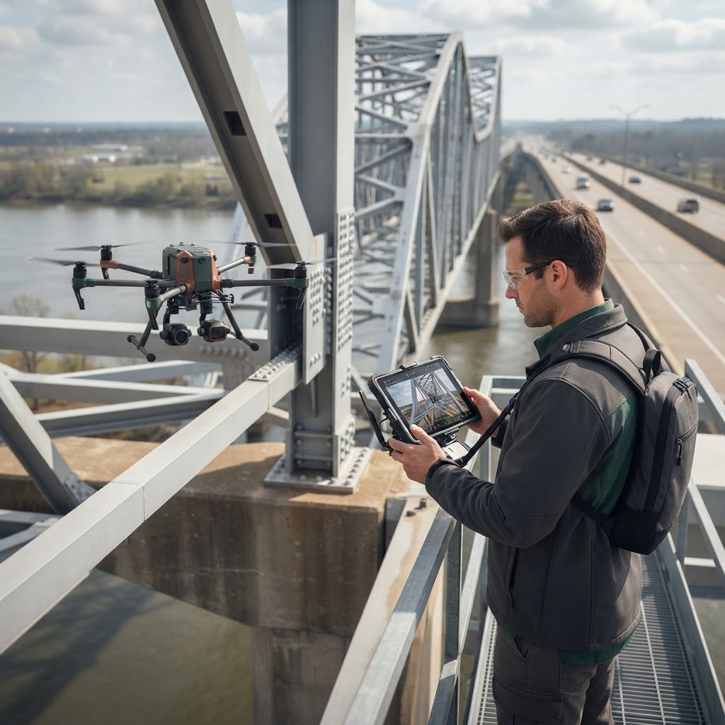
The Latency of Insight In high-stakes operational environments, the gap between data collection and actionable decision-making is often the primary point of failure. Geospatial analysts and operations leaders are frequently inundated with high-fidelity telemetry from unmanned systems, yet the utility of this data is often diminished by silos that prevent a holistic view of the mission space. The challenge is not merely the collection of spatial data, but the integration of that data into a cohesive decision intelligence framework that accounts for uncertainty and dynamic environmental change. When data is trapped within individual platforms or disconnected departments, the time-to-insight increases, leading to risks that could have been mitigated by faster processing. Addressing this latency is essential for organizations that rely on high-fidelity information to navigate volatile landscapes. It requires a fundamental shift in how organizations perceive the flow of information from sensor to decision-maker, ensuring that the path is unobstructed by artificial technical barriers. ## Moving Beyond Data Aggregation True geospatial intelligence requires transitioning from static mapping to a dynamic, continuous intelligence layer. When unmanned systems provide raw imagery or sensor feeds, the immediate requirement is context. Systems engineering practices suggest that the integration of spatial data must occur at the edge, where low-latency analysis can support immediate operational needs. Relying solely on centralized processing often ignores the immediate nature of field-based requirements. Effective integration rests on three pillars: 1. Interoperability: Ensuring that geospatial streams are ingested into standard data models that support cross-functional analysis, thereby allowing disparate systems to communicate fluidly. 2. Contextualization: Applying human-centric insight to evaluate spatial anomalies rather than relying solely on automated detection algorithms, which may miss subtle environmental nuances. 3. Resilience: Planning for degraded communications environments where autonomy must persist in the absence of a stable link, ensuring that mission objectives remain achievable regardless of connectivity status. By focusing on these pillars, organizations can ensure that their data aggregation efforts serve a broader strategic purpose rather than simply increasing the volume of stored information. ## The Role of Agentic Systems As organizations explore more complex unmanned system deployments, the concept of an agentic foundation—a continuous intelligence layer—becomes increasingly relevant. Rather than treating an unmanned system as a standalone asset, it should function as a node within an interconnected ecosystem. This allows for the automated synthesis of geospatial changes with pre-existing infrastructure data, enabling leaders to conduct more rigorous feasibility analyses before deploying physical assets. This networked approach transforms unmanned systems into active contributors to a larger intelligence architecture. By viewing each platform as a node, managers can leverage the collective intelligence of the fleet, reducing the manual oversight required for routine tasks and allowing human operators to focus on high-level strategy and anomalous conditions that demand expert intervention. ## Engineering for Decision Support Technical architects must prioritize systems engineering approaches that emphasize the lifecycle of information. We must ask: how does a piece of spatial data transform into a decision? This requires a shift in how we structure our digital engineering workflows, moving away from disparate tools and toward integrated environments that account for environmental variables and historical operational patterns. By embedding decision-support logic directly into the engineering phase, architects ensure that the tools are purpose-built for the complexities of the environment. This methodical approach reduces the likelihood of information overload and ensures that the data delivered to the end-user is both relevant and actionable. It is a transition from building tools that collect data to building systems that synthesize knowledge. ## Human-Centric Governance Technology is an enabler, not a replacement for human judgment. The goal of integrating geospatial intelligence is to provide decision-makers with a higher resolution of reality, thereby reducing the cognitive load required to understand complex systems. By combining analytics with human insight, we ensure that technological outputs remain grounded in real-world objectives and ethical considerations. As these technologies evolve, the focus must remain on the robustness of the decision-making process rather than the complexity of the sensor suite itself. Maintaining this human-centric balance ensures that while machines process data and recognize patterns, the final authority and moral responsibility for operational outcomes remain firmly within human control. This alignment between machine efficiency and human judgment is the ultimate benchmark for success in the integration of unmanned systems and geospatial intelligence.