
Precision and Persistence: Solving Infrastructure Inspection Challenges with Unmanned Systems
Traditional infrastructure inspection models often struggle with balancing granular data requirements against operational risk and site accessibility. Integrating unmanned systems into these workflows requires a shift toward system-level engineering rather than simple platform deployment.
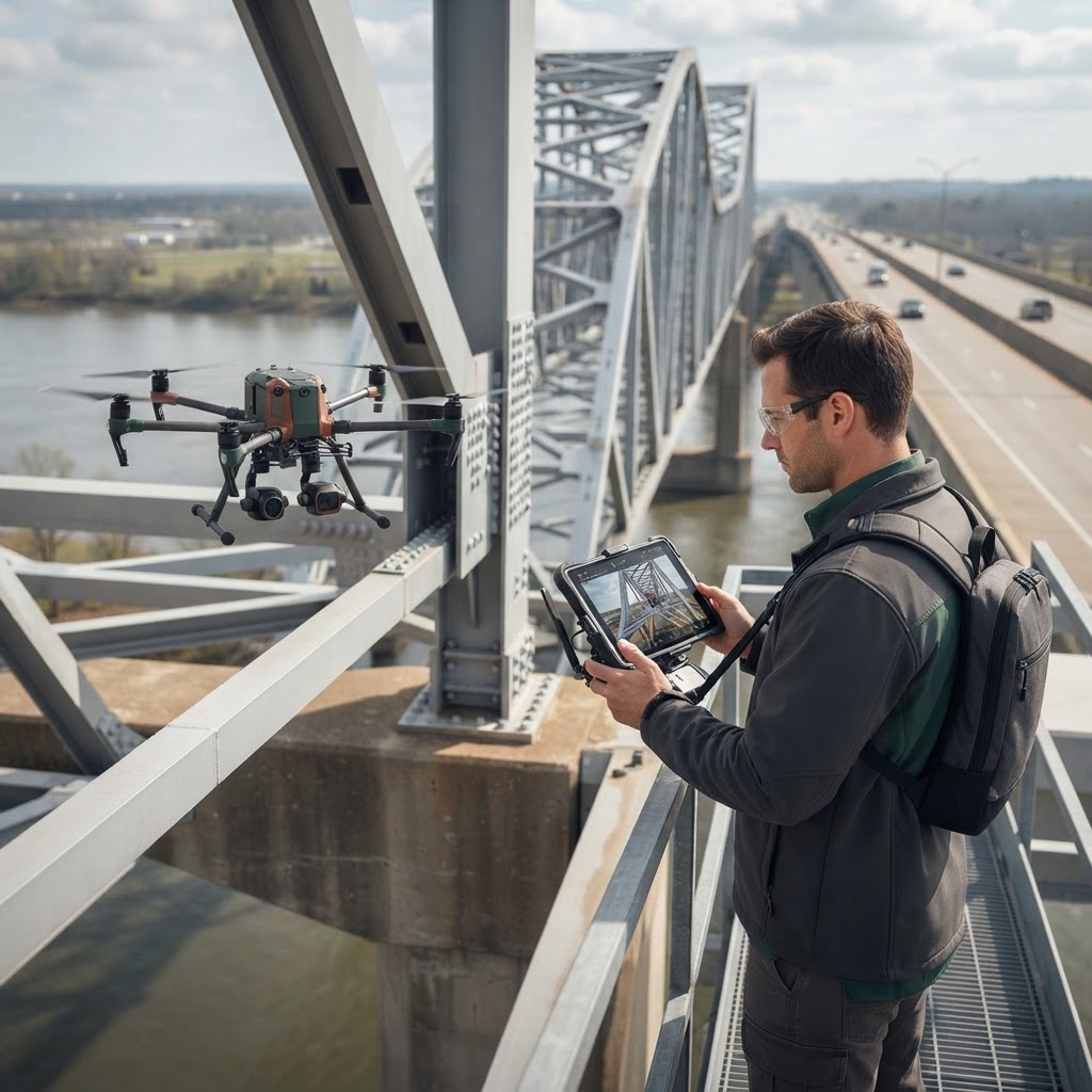
AI-generated image
The Inspection Paradox: Balancing Data Granularity and Risk
Critical infrastructure maintenance relies on the ability to detect degradation before it affects service or safety. Historically, this has required human inspectors to work in high-risk environments—climbing towers, inspecting bridge undersides, or traversing remote utility corridors. Beyond the inherent safety risks, traditional methods often produce non-standardized data, making longitudinal analysis and predictive maintenance difficult to execute at scale.
The challenge for program leaders and technical architects is not the acquisition of imagery, but the synthesis of disparate data points into actionable insights. Moving from manual inspection to automated or semi-automated systems requires a fundamental rethinking of how geospatial intelligence is captured, validated, and integrated into existing enterprise asset management systems.
Systems Engineering for Unmanned Operations
Deploying unmanned systems for asset inspection is frequently framed as a platform-selection problem, but the most significant challenges are systemic. Effective integration requires a rigorous focus on the complete intelligence pipeline:
- Mission Architecture: Defining the specific data requirements for the asset type. This includes resolution requirements (GSD), sensor selection (LiDAR vs. photogrammetry), and flight path optimization to ensure temporal consistency in longitudinal studies.
- Data Normalization: Ensuring that geospatial outputs align with the existing site coordinate systems (e.g., NAD83/WGS84). Without standardized spatial metadata, automated change detection becomes unreliable.
- Operational Resilience: Accounting for local environmental variables, such as electromagnetic interference near power assets or signal attenuation in canyons and deep urban settings.
Decision Intelligence in Asset Management
Data collected via unmanned systems is only as valuable as the decisions it supports. In practice, this requires a transition from raw sensor output to refined decision intelligence. This often involves automated feature extraction—identifying rust, structural cracks, or vegetation encroachment—and mapping these findings directly against established risk thresholds.
For government agencies and commercial operators, this approach changes the primary objective of the inspection flight. Instead of collecting 'survey data,' the system is calibrated to answer specific questions: Does this transmission tower meet clearance requirements? Has this bridge support experienced measurable settlement? By narrowing the focus to actionable data, organizations can reduce the volume of stored noise and accelerate the time-to-insight.
Challenges in Integration and Scalability
Despite the clear utility, broad implementation faces non-technical hurdles. Architects must address interoperability between drone-collected geospatial data and GIS or BIM environments. Furthermore, establishing a repeatable workflow that satisfies regulatory and internal safety requirements is a resource-intensive process. [Research needed: Current state of regional aviation regulatory barriers for autonomous beyond-visual-line-of-sight (BVLOS) operations.]
Moreover, the introduction of continuous data streams necessitates robust data governance. Managing high-density point clouds and multispectral imagery requires infrastructure that is as durable as the physical assets being inspected. Technical leadership must prioritize the creation of a 'single source of truth' for geospatial records to avoid data silos that impede inter-departmental collaboration.
Forward-Looking Considerations
The future of asset inspection lies in the transition from 'mission-based' captures to persistent intelligence. When unmanned systems are treated as an integrated component of a broader systems engineering framework, they provide more than just snapshots; they offer a dynamic understanding of physical infrastructure status. By focusing on the integration of human-centric analysis, automated processing, and rigorous geospatial standards, organizations can move toward a more resilient and predictive model of asset lifecycle management.